

Fire Hazard Severity Zone Lookup: What It Means for a Roof
Look up the exact street address on the State Fire Marshal's Fire Hazard Severity Zone (FHSZ) Map Viewer and note two things: whether the parcel is in a State Responsibility Area (SRA) or a Local Responsibility Area (LRA), and its class, Moderate, High or Very High. A ZIP code can't tell you this, because zone lines can run between neighboring streets. In an LRA, which takes in incorporated cities, the state's 2025 map is a recommendation until the city or county adopts it, so confirm the designation with the building department; in the City of Los Angeles, that means the parcel's ZIMAS profile and LADBS. For the roof, the zone decides the fire rule: on all SRA land and in High and Very High zones, California's wildland-urban interface code requires a Class A roof assembly; on an existing house it applies when the covering is replaced (or 50% or more of it within 12 months), and any covering added in a repair must be at least Class A; outside the zones the minimum is Class C; and in an LRA Moderate zone, which rule applies is a question for the building department.
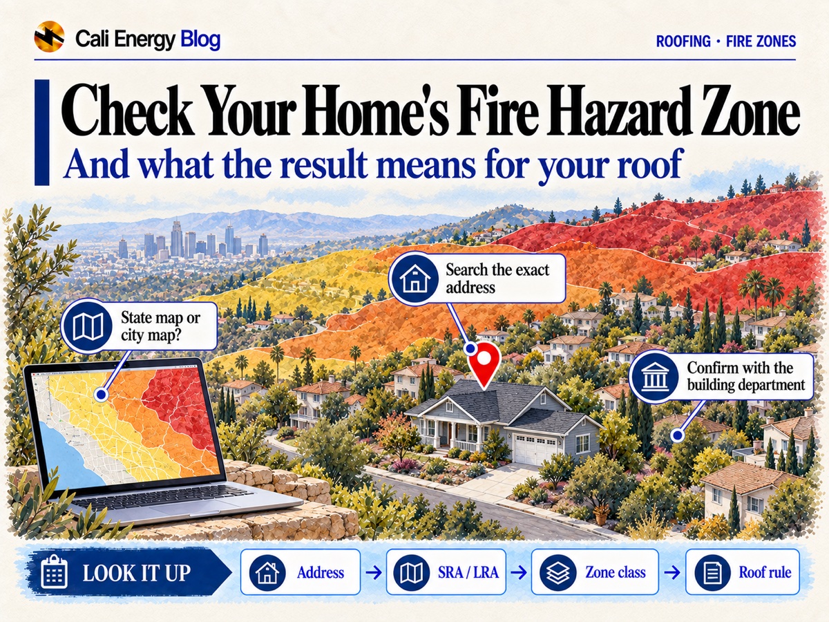
This page is about finding the zone and reading it. What the wildfire code requires of a roof, section by section, is in California's WUI code for roofs; which roof to choose for fire and what to upgrade on the one you have, in fire-resistant roofs in Los Angeles; what a Class A rating certifies, in Class A roof rating, explained; and solar in fire zones, in roof fire class, hazard zones and solar. Vegetation clearance and insurance get a sentence each here, and prices are left out. How a zone applies to a particular job is the building department's call, and the sections below say where to confirm.
How to look up the zone, step by step
The map that starts the lookup belongs to CAL FIRE's Office of the State Fire Marshal (OSFM). The steps below take you from that map to the designation a permit is actually held to.
- Open the state's map. Go to OSFM's Fire Hazard Severity Zones page and open the FHSZ Map Viewer linked from it; that's where OSFM sends people to look up an address.
- Search the exact street address. Then zoom in on the house itself and check which side of any zone line it sits on. If the pin lands on the street and no result appears, click on the parcel itself; if a zone line crosses the lot, ask the building department which class applies.
- Note the responsibility area and the class. The parcel is either SRA or LRA, and its class is Moderate, High or Very High; only LRA land can show no zone. An address inside an incorporated city is LRA, since incorporated cities aren't part of the SRA. Which city or county the parcel is actually in comes from the viewer's result, not from the mailing address: a Los Angeles mailing address can be in unincorporated county territory. The viewer also names the local fire agency. An LRA class on the state's map is the State Fire Marshal's 2025 recommendation, not necessarily the map the city or county has adopted.
- If it's LRA, find the map the city or county adopted. The city or county adopts the zones by ordinance, and its version can be stricter than the state's. Ask the building department that issues permits for the address which designation it has.
- In the City of Los Angeles (the viewer shows the city as Los Angeles), open the parcel's profile in City Planning's ZIMAS and read the "Very High Fire Hazard Severity Zone" line, then confirm the zone with LADBS, the Department of Building and Safety (more on both below).
- In unincorporated Los Angeles County (the viewer shows the county, unincorporated, even if the mailing address says Los Angeles), SRA parcels follow the state's map; for LRA parcels, the county brought the Moderate, High and Very High zones into its fire code in July 2025 (details below). Confirm the zone with the county fire department or the county's building and safety office before the job is scoped.
- If the result looks wrong, ask OSFM: (916) 633-7655 or FHSZinformation@fire.ca.gov; for an LRA parcel, the city or county that adopted the map is the one to ask.
- Save the result with the date. Keep a dated screenshot or printout of the state map and of the local record for the permit file. Maps get revised, and the date shows which version you read.
What each result means for the roof
The zone decides which fire rule the roof is held to. Where the 2025 California Wildland-Urban Interface Code (Title 24 Part 7, the WUI code, in effect since January 1, 2026) applies, the roof has to be a Class A assembly. That covers all SRA land, High and Very High zones in an LRA, and High and Very High zones or wildland-urban interface areas a city or county designates itself (the permanent version proposed in 2026 would drop the separate item for locally designated interface areas). The rule reaches an existing house through work: replacing the covering, or 50% or more of it within 12 months, means meeting the new-construction roof rules, and any covering put on in a repair has to be at least Class A. Outside Fire Hazard Severity Zones and designated wildland-urban interface areas, the 2025 California Residential Code (CRC R902.1.2) calls for a fire-retardant covering of at least Class C on a new roof, on a roof that has more than 50% replaced within a year, and on any repair. The code sections themselves are in California's WUI code for roofs, and what Class A certifies is in Class A roof rating, explained.
| What the lookup shows | What it means for the roof | Next step |
|---|---|---|
| SRA, any class: Moderate, High or Very High | The WUI code applies on all SRA land, whatever the class: a Class A roof assembly, with the re-roof and repair rules above | Confirm the zone and any local rules with the building department for the address before the roof is scoped |
| LRA, Very High | The WUI code applies: its list takes in LRA land the State Fire Marshal identifies as Very High or High, and zones a city or county designates. Class A, with the re-roof and repair rules above | Check the city's or county's adopted map, then confirm the designation with the building department |
| LRA, High | The WUI code applies here too: High zones in an LRA were added by an emergency amendment effective January 1, 2026 and readopted in May 2026, and the State Fire Marshal's permanent version, on the Building Standards Commission's August 2026 agenda, keeps them on the list. Class A, with the same re-roof and repair rules | Before Senate Bill 63 (2021), only Very High had to be adopted in an LRA, so a High class may be new to the local map. Confirm it, and ask which code text applies on the day you file |
| LRA, Moderate | Not on the WUI code's list. Which roof rule applies is a question for the building department, and a local code can be stricter than the state's | Ask the building department which roof class it requires for the address before the roof is priced |
| No zone on the state or the local map | CRC R902.1.2: a fire-retardant covering of at least Class C on a new roof, on a roof with more than 50% replaced within a year, and on any repair | Make sure the city or county hasn't designated the area itself as a zone or a wildland-urban interface area; local rules can be stricter |
| City of Los Angeles parcel in a High or Very High zone on the city's or the state's map | LADBS applies the wildfire code to buildings in Very High or High zones "as shown in local and State maps." No wood shake or wood shingle roof, fire-retardant-treated included. A lightweight re-roof can go as an express permit | Read the parcel's ZIMAS profile, then confirm the zone with LADBS before the re-roof is scoped |
| The state map and the local map disagree | A city or county can't lower the class the state recommended, but it can raise it or add areas (Government Code 51179(b)(3)). Which designation a permit is held to is the building department's call | Ask which designation it applies to your permit; until it answers, plan for the stricter of the two |
How the City of Los Angeles express permit works, and what LADBS checks on a fire-zone project, are covered in California's WUI code for roofs.
SRA and LRA: whose map it is
The responsibility area is the first thing to read off the lookup, because it decides whose map is final.
- State Responsibility Area (SRA): land where the state is financially responsible for wildfire protection. Incorporated cities and federal land aren't part of it. All SRA land is in a zone, Moderate, High or Very High, and here the state's map is the adopted one: the current SRA maps were adopted January 31, 2024 and took effect April 1, 2024.
- Local Responsibility Area (LRA): incorporated cities, urban areas, agricultural land and parts of the desert, where local government is responsible for fire protection. Senate Bill 63 (2021) requires all three classes to be adopted in LRA; before it, only Very High was required. So a parcel that showed no zone on an older LRA map may carry a Moderate or High class on the 2025 one.
What Moderate, High and Very High mean
Fire Hazard Severity Zones come in three classes: Moderate, High and Very High. The laws behind them are Public Resources Code 4201–4204, California Code of Regulations Title 14 §1280, and Government Code 51175–51189.
The maps measure hazard, not risk. They rate the physical conditions that make fire likely and shape how it behaves over a 30- to 50-year period, and OSFM compares them to flood-zone maps: the class describes the place, not the house on it.
OSFM's FAQ (December 18, 2024) explains why two similar houses can land in different classes:
- Outside the wildlands, zone edges follow distance from the wildland edge, because the hazard there is mostly embers blown in from it. Similar streets can change class as that distance grows.
- In the wildlands, zones are areas of similar slope and fuel of at least 200 acres, each classed by its average hazard.
Why the state map isn't always the final word inside a city
OSFM released its 2025 LRA maps in four phases, on February 10, February 24, March 10 and March 24, 2025. Its LRA viewer is labeled "FHSZ recommendations," and for a specific parcel in an LRA, OSFM tells people to contact their local jurisdiction.
A recommendation becomes the local map through adoption. State law requires the city or county to adopt the zones by ordinance, and under Government Code 51179(b)(3) it can't lower the class the state recommended, though it can raise it or add areas. For Los Angeles County, including the City of Los Angeles, OSFM issued the recommended LRA maps on March 24, 2025, and the county's notice of the release put adoption within 120 days of issuance. Until you've confirmed what the city or county adopted, treat the state's LRA result as the starting point, not the answer.
Los Angeles County
On July 22, 2025, the Board of Supervisors adopted an amendment to the County Fire Code (Title 32, Appendix PP) that brings in the LRA Moderate, High and Very High zones within the jurisdiction of the county's Consolidated Fire Protection District, operative 30 days after adoption. Before that, the LRA maps there showed only Very High. In unincorporated areas, confirm the zone with the county; if the address is in an incorporated city, ask that city's building department which map it has adopted.
City of Los Angeles
The City of Los Angeles is LRA, and its recommended map came out with the county's on March 24, 2025; LAFD notes that the city must adopt the recommended maps by ordinance. LADBS's Fire Hazard Severity Zone Supplemental Checklist (revised March 27, 2026) applies the wildfire code to buildings in Very High or High zones "as shown in local and State maps."
The parcel-level record is in ZIMAS, run by the Department of City Planning: its Parcel Profile Report has a "Very High Fire Hazard Severity Zone" line that reads Yes or No. That line reflects the city's adopted map. The 2025 state map redrew Very High as well as adding High and Moderate, so ZIMAS can read "No" for a parcel the state map shows as Very High or High. Because LADBS applies the wildfire code to zones "as shown in local and State maps," a "No" in ZIMAS doesn't clear a High or Very High result on the state map; confirm the zone with LADBS before a re-roof or an addition.
What the zone doesn't tell you
- How a particular house would fare in a fire. The maps don't count home hardening, recent fires or fuel reduction, and OSFM says they aren't a structure-loss model: things like roof type aren't in them. A new roof, however fire-resistant, isn't something the map takes into account.
- Whether the roof you have meets the rules. The zone tells you which rule new work is held to. Whether the existing roof is a Class A assembly is a separate question, covered in Class A roof rating, explained.
- Your insurance rate. The California Department of Insurance said on April 4, 2025 that CAL FIRE's hazard maps are not used for insurance rates or underwriting.
- Every local rule. A fire hazard designation isn't the full list of what a building department can require; cities and counties can adopt stricter rules of their own, so ask what applies to the address.
Other things a zone is used for
Zones are also used for defensible-space rules and real estate disclosure, and local governments may consider them in their general plans. In a Very High zone in an LRA, Government Code 51182 calls for 100 feet of defensible space clearance, unless a local rule is stricter.
Using the result before a re-roof, an addition or a purchase
- Before a re-roof. Settle the zone with the building department before the roof is priced: it decides which fire rule the new covering is held to, Class A or at least Class C, and in the City of Los Angeles wood shake and wood shingle are ruled out everywhere, fire zone or not. Whether the roof needs replacing at all is covered in roof repair or replace; choosing the covering by slope, weight and cost, in choosing a roofing material; and what to upgrade for fire, in fire-resistant roofs in Los Angeles. If solar is part of the plan, see roof fire class, hazard zones and solar.
- Before an addition. Where the WUI code applies, it reaches more than the roof; how it treats an addition is in California's WUI code for roofs.
- Before a purchase. Look the address up yourself on the state map, confirm the local designation, and keep the dated records with the purchase papers. If the roof is near the end of its life, the zone decides what the next one has to be, and where the WUI code applies, any covering put on in a repair has to be at least Class A.
Cali Energy's California contractor license, #1032379, lists three classifications: C-39 Roofing, B General Building, and C-10 Electrical, which covers solar. On a re-roof, the zone check comes before the price. Finished projects are in our case studies, and the roofing work we take on is described on our roofing page.
Frequently asked
Can I find my fire zone by ZIP code?
Why is my neighbor in a different zone?
My house wasn't in a zone before 2025. Does that change my roof now?
Does a Moderate zone change my roof requirements?
Does the fire zone affect my insurance?
How do I prove my zone for a permit or a sale?
Related reading
Sources & methodology
Code sections, rules and figures on this page come from the primary sources below. Codes, local requirements and product terms change; each was verified October 1, 2026.
- CAL FIRE Office of the State Fire Marshal, Fire Hazard Severity Zones
- CAL FIRE Office of the State Fire Marshal, Frequently Asked Questions about 2024 Fire Hazard Severity Zones, December 18, 2024
- LAFD, 2025 CAL FIRE Fire Hazard Severity Zones Map Recommendation
- Los Angeles County Board of Supervisors, ordinance amending Title 32 for local agency Fire Hazard Severity Zones, July 22, 2025
- City of La Cañada Flintridge, CAL FIRE releases 2025 Local Responsibility Area Fire Hazard Severity Zone maps for Los Angeles County
- LADBS, Fire Hazard Severity Zone Supplemental Checklist (2025 CWUIC), PC/STR/Corr.Lst.116, revised March 27, 2026
- City of Los Angeles Department of City Planning, ZIMAS
- California Wildland-Urban Interface Code 2025 (Title 24, Part 7), Chapter 1, section 101.3.1 (UpCodes)
- California Residential Code 2025, Chapter 9, R902.1.1 and R902.1.2 (UpCodes)
- California Building Standards Commission, Emergency Rulemaking (SFM EF 01/25)
- California Department of Insurance, CAL FIRE hazard maps do not affect insurance rates or availability, April 4, 2025
We'll confirm the fire zone before we price your re-roof
Call (323) 844-7777. Before we price a re-roof, we look up the parcel's Fire Hazard Severity Zone and check what the building department requires for it. Have ready the address, the roof type and roughly how old it is, and a few photos of the roof taken from the ground. The designation itself is confirmed with the building department, and the roof has to be seen before the scope is final.
Prepared by Cali Energy, October 1, 2026. This article is for general educational purposes only and is not legal, tax, financial, engineering, or utility advice. Rates, incentives, codes, permit requirements, equipment specifications, prices, and program terms may change; figures and timelines are estimates, not guarantees. Confirm current requirements with the applicable utility, AHJ, program administrator, manufacturer, or a licensed professional. See our Content Disclaimer. Cali Energy · 19201 Parthenia St, Unit E, Northridge, CA 91324 · CSLB #1032379 (B, C-10, C-39)